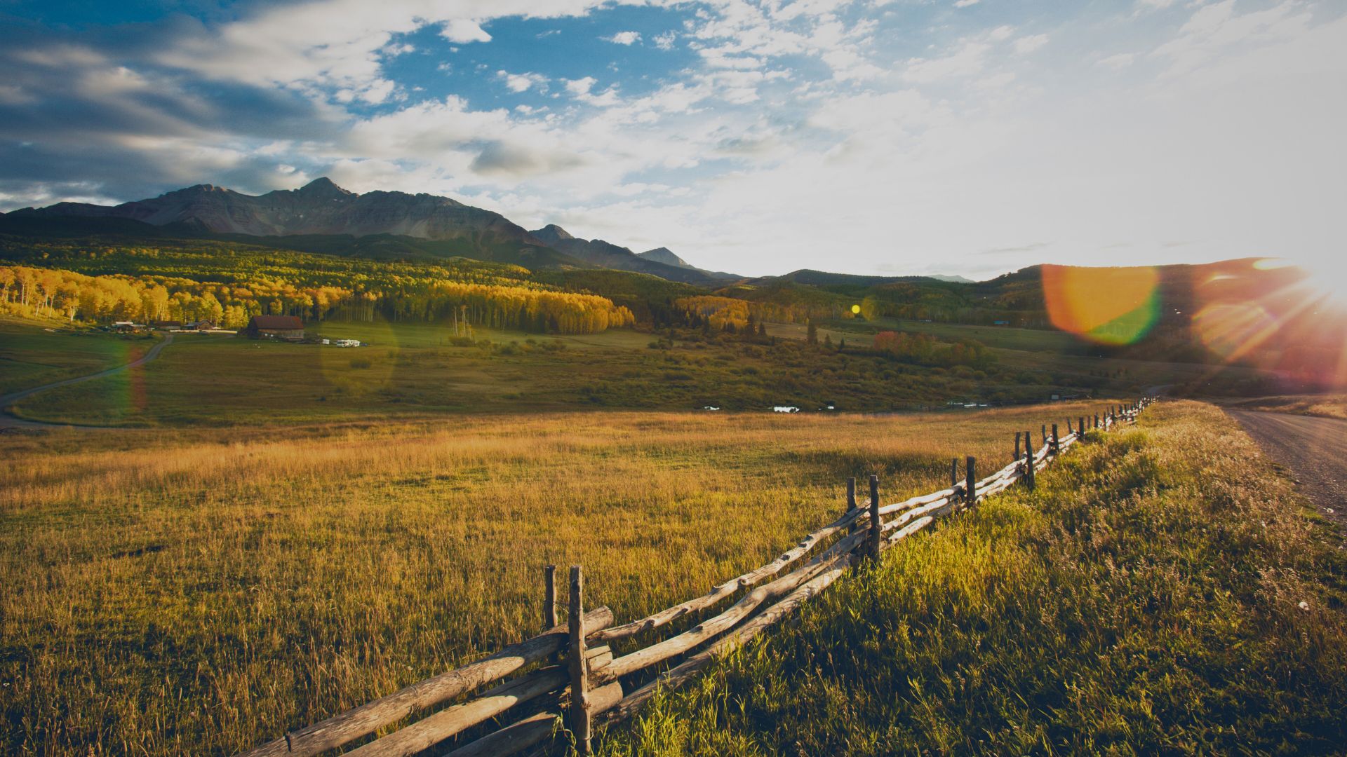
Know the Land Before You Buy It
Professional GIS & Remote Sensing analysis for remote land and wilderness properties.
What we cover…
Our Land Assessment Process
Initial Consultation
You fill out a short form, telling us what you’re looking for. We then check data availability for your property, and send you an offer.
Data Collection
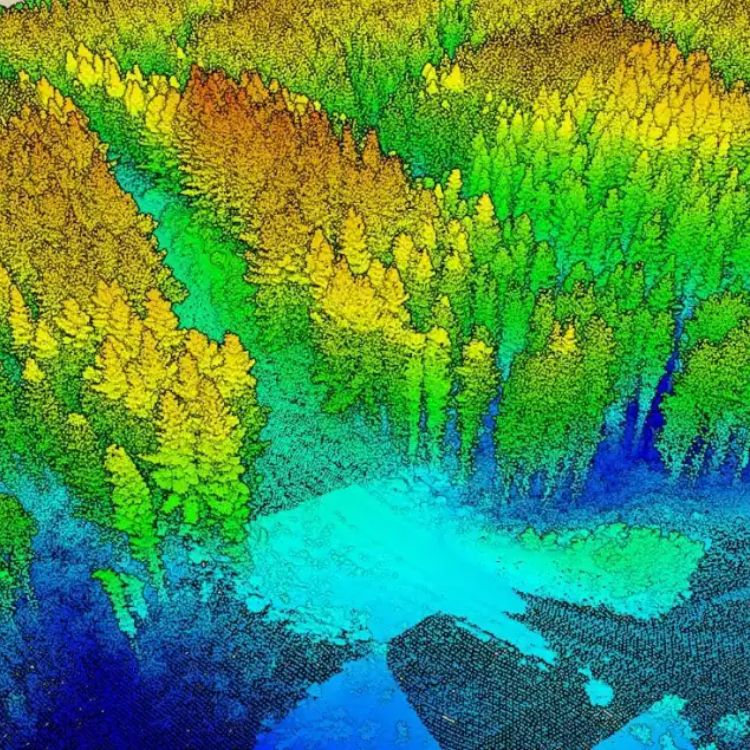
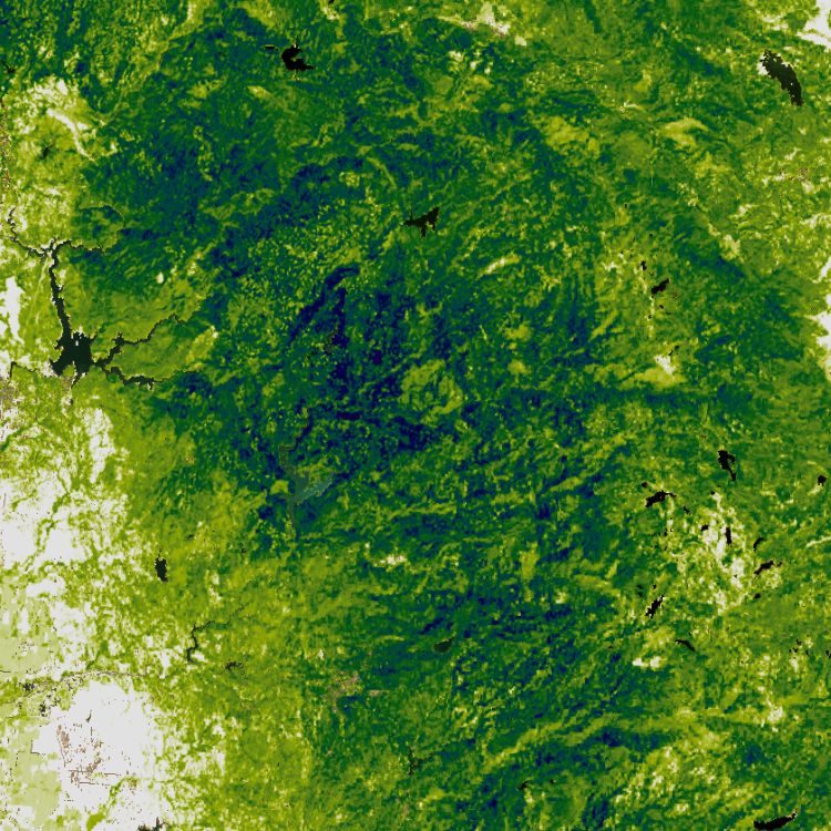
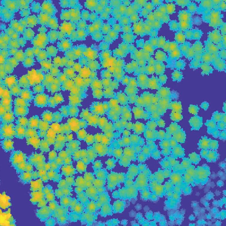
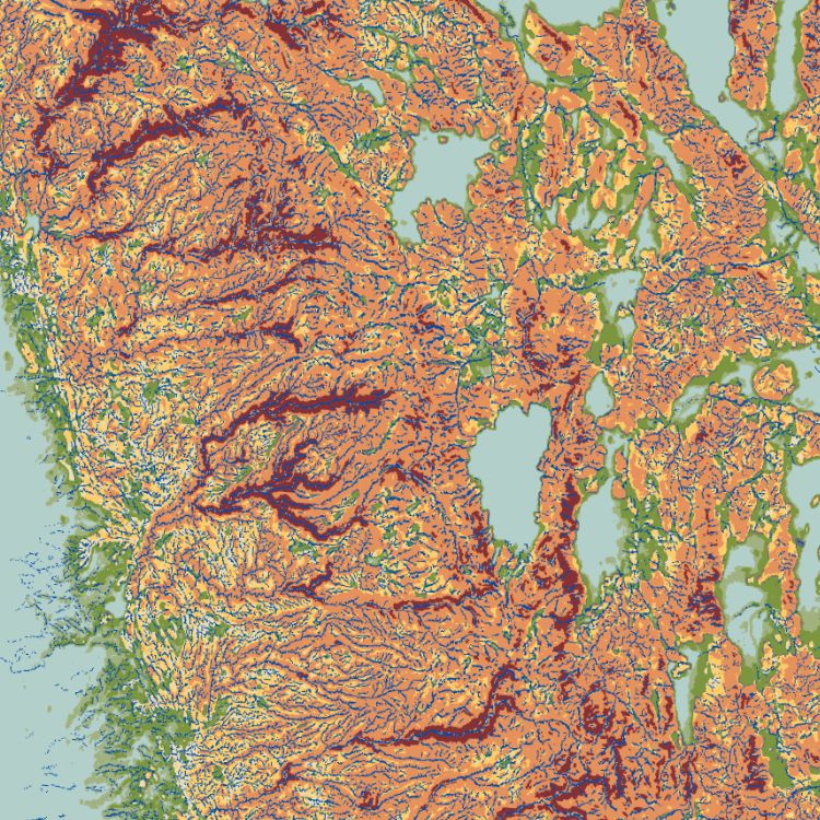
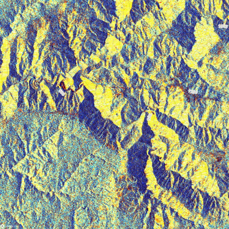
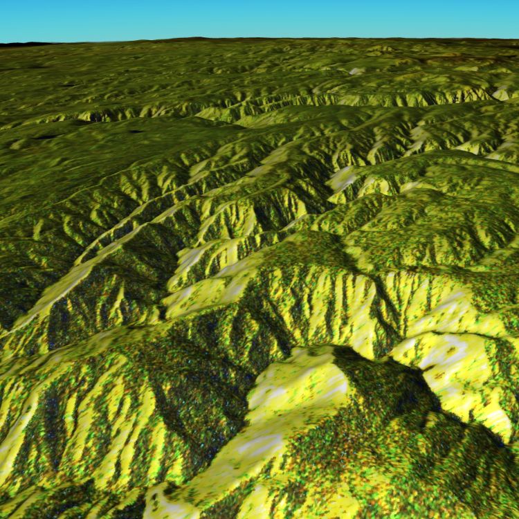
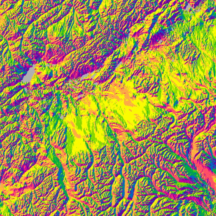
We collect high-quality spatial data, including satellite imagery, elevation models, and environmental datasets relevant to your property.
Virtual Assessment
Using advanced GIS analysis, we evaluate all critical aspects of the land (listed above).
Detailed Report
You receive a detailed PDF report with clear insights, maps, and practical recommendations to your e-mail address
FAQ
Dive into the ZIKO Outdoors Blog
LATEST BLOG POSTS
4 Interesting Facts About Lichens
Lichens often go unnoticed in forests, especially in the warmer months, when our eyes are distracted by beautiful blooming flowers and green landscapes. To an untrained eye, lichens may look…
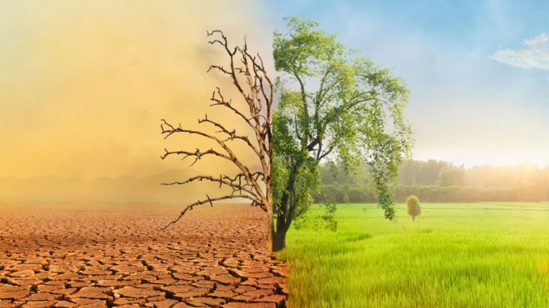
How Climate Change Is Reshaping Our Forests
Forests have always felt steady and timeless, but the truth is, they’re changing faster than we realize. When you spend enough time in the woods, you start to notice things….